
Naddle Low Forest
Height 1398 feet/426metres
Grid Reference NY 502 150
Area
Birkett - Eastern Fells, Branstree Group - Top No. 421
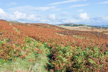
A distant Naddle Low Forest from the path to Naddle High Forest.
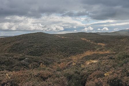
Looking across Naddle Low Forest to the summit from Hugh's Laithes Pike.
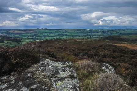
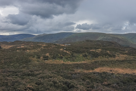
The summit of Naddle Low Forest.
Looking across to High Raise and Kidsty Pike from Naddle Low Forest.
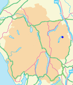
Haweswater Hotel - Old Corpse Road - Ritchie Crag - Woof Crag - Hare Shaw (OF) - Naddle High Forest (OF) - Wallow Crag (OF) - Hugh's Laithes Pike (OF) - Naddle Low Forest (421) - Naddle Farm - Haweswater Hotel
Naddle Bridge - Naddle Farm - Scalebarrow Knott (402) - Harper Hills (403) - Powley's Hill (404) - Hare Shaw (405) - Naddle High Forest (406) - Wallow Crag (407) - Hugh's Laithes Pike (OF) - Naddle Low Forest - Naddle Farm - Naddle Bridge
All pictures copyright © Peak Walker 2021
©Crown copyright. All rights reserved. Licence number 100045184.